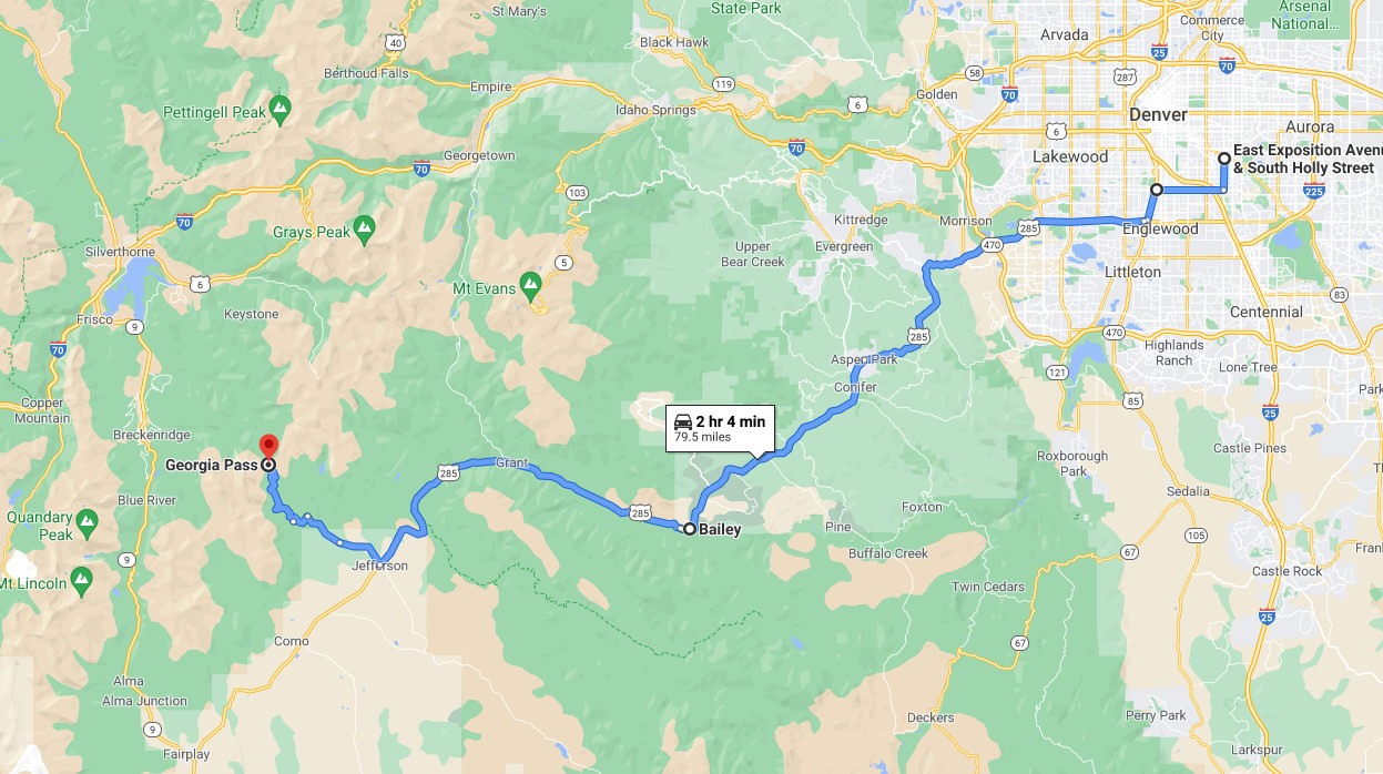
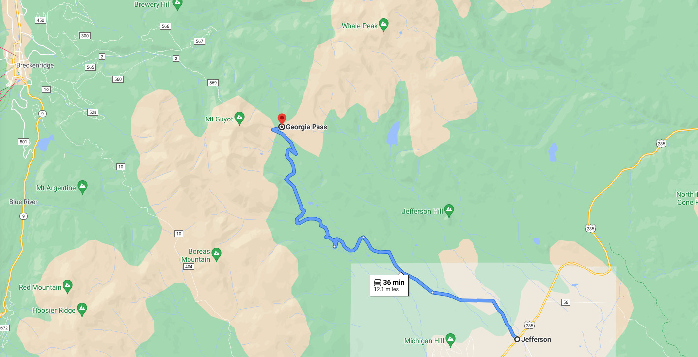
Georgia Pass is 80 miles southwest of Denver, Colorado with about a two hour drive time. The road from the Jefferson turnoff to the pass turns from a paved to a rough gravel road best travled by four wheel drive or high clearance vehicles. Although in good weather is passable in high clearance passenger vehicles. The pass sits at an elevation of 11,598 fee from sea level.
Ute and Arapahoe Indian Tribes were the first known users of Georgia Pass. After the Louisiana Purchase in 1803, the route was used by explorers, trappers, and prospectors (miners). In the late 1800's the pass was one of four passes coming into Summit County. Summit County is one of the original 17 counties in the Colorado Territory.
Roger's New Genealogy Home Page
![]()
![]()
Copyright © 2021 by Roger B. Rowland.
All rights reserved.
![]()